Maximize Efficiency with Drone Inspections and Mapping
In today’s fast-paced world, industries are constantly seeking innovative ways to enhance productivity and reduce costs. One of the most promising advancements in this area is the use of drones for inspections and mapping. Drones are not just a trend; they are transforming how businesses operate, providing a level of efficiency and accuracy that was previously unattainable. This blog post will explore how drone inspections and mapping can maximize efficiency across various sectors, including construction, agriculture, and energy.
Understanding Drone Technology
Before diving into the benefits of drone inspections and mapping, it's essential to understand the technology behind drones. Drones, or unmanned aerial vehicles (UAVs), are equipped with various sensors and cameras that allow them to capture high-resolution images and data from the air. They can be programmed to follow specific flight paths, making them ideal for repetitive tasks such as surveying large areas.
Key Components of Drones
Cameras and Sensors: High-resolution cameras and thermal sensors provide detailed imagery and data collection capabilities.
GPS Technology: Enables precise navigation and positioning, crucial for accurate mapping.
Software: Advanced software allows for data analysis, 3D modeling, and integration with other technologies.
Benefits of Drone Inspections
Increased Safety
One of the most significant advantages of using drones for inspections is the enhanced safety they provide. Traditional inspection methods often require workers to climb heights or enter hazardous areas. Drones can perform these tasks remotely, reducing the risk of accidents and injuries.
Cost-Effectiveness
Drones can significantly lower inspection costs. They reduce the need for scaffolding, cranes, and other expensive equipment. Additionally, the speed at which drones can complete inspections means less downtime for operations, leading to further savings.
Time Efficiency
Drones can cover large areas in a fraction of the time it would take a human team. For example, a drone can inspect a 100-acre solar farm in just a few hours, while traditional methods might take days. This rapid data collection allows businesses to make quicker decisions and respond to issues more effectively.
High-Quality Data Collection
Drones provide high-resolution imagery and detailed data that can be used for analysis and reporting. This data can help identify potential problems before they escalate, allowing for proactive maintenance and repairs.
Applications of Drone Mapping
Construction
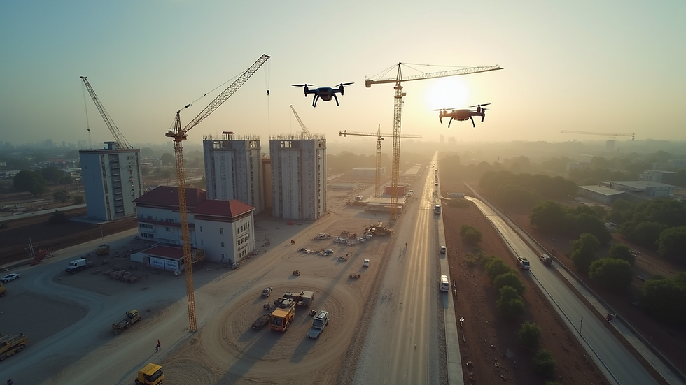
In the construction industry, drones are revolutionizing project management. They can create detailed topographical maps and 3D models, allowing project managers to visualize the site and plan accordingly. Drones can also monitor progress and ensure that projects stay on schedule.
Case Study: A Construction Project
A construction company used drones to survey a large site for a new commercial building. By utilizing drone mapping, they were able to create a 3D model of the terrain, identify potential issues with drainage, and adjust their plans accordingly. This proactive approach saved them time and money, ultimately leading to a successful project completion.
Agriculture
Drones are also making waves in agriculture. Farmers can use drones to monitor crop health, assess irrigation needs, and even apply fertilizers and pesticides. This precision agriculture approach leads to higher yields and reduced waste.
Example: Crop Monitoring
A farmer used drones to monitor his cornfields. By analyzing the data collected, he identified areas that were underperforming and adjusted his irrigation strategy. This targeted approach resulted in a 15% increase in yield compared to previous years.
Energy Sector
In the energy sector, drones are invaluable for inspecting infrastructure such as power lines, wind turbines, and oil rigs. They can quickly identify issues like corrosion or damage, allowing for timely maintenance and reducing the risk of outages.
Example: Power Line Inspections
An energy company implemented drone inspections for their power lines. By using drones, they reduced inspection time by 70% and were able to identify potential hazards before they caused outages. This proactive maintenance approach improved reliability and customer satisfaction.
Challenges and Considerations
While the benefits of drone inspections and mapping are substantial, there are challenges to consider. Regulatory restrictions, privacy concerns, and the need for trained personnel can pose hurdles for businesses looking to adopt this technology.
Regulatory Compliance
Drones are subject to regulations that vary by country and region. Businesses must ensure they comply with local laws regarding drone usage, including obtaining necessary permits and certifications.
Privacy Issues
The use of drones raises privacy concerns, especially in populated areas. Companies must be transparent about their drone operations and ensure they respect individuals' privacy rights.
Training and Expertise
Operating drones requires specialized training. Businesses must invest in training their personnel or hiring qualified operators to ensure safe and effective drone use.
Future of Drone Inspections and Mapping
The future of drone inspections and mapping looks promising. As technology continues to advance, we can expect drones to become even more capable and versatile. Innovations such as artificial intelligence and machine learning will enhance data analysis, making it easier for businesses to derive actionable insights from drone-collected data.
Emerging Technologies
AI Integration: AI can analyze drone data in real-time, identifying patterns and anomalies that may require attention.
Improved Battery Life: Advances in battery technology will allow drones to operate for longer periods, covering more ground without needing to recharge.
Enhanced Sensors: New sensor technologies will improve data accuracy and expand the range of applications for drones.
Conclusion
Drone inspections and mapping are transforming industries by maximizing efficiency, enhancing safety, and providing high-quality data. As businesses continue to adopt this technology, they will reap the benefits of reduced costs and improved decision-making. The future is bright for drone technology, and those who embrace it will likely lead the way in their respective fields.
By integrating drone inspections and mapping into your operations, you can stay ahead of the competition and ensure your business is prepared for the challenges of tomorrow. Consider exploring how drones can benefit your industry today.


Comments